
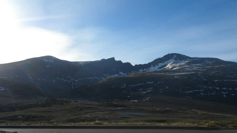
14,060’ Class 2 Mount Bierstadt is a muddy yet beautiful gem. Unlike most other 14er’s in Colorado, from the trailhead, hikers are able to see their entire route up Mount Bierstadt’s west slopes. Arguably the easiest of Colorado’s 58 14er’s, Mount Bierstadt is one of the highest peaks in the Front Range of the Rocky Mountains. Breckenridge tourists should head to this climb seeking a less challenging peak to summit OR a challenging 14er combo (see asterisk below). Just a short 75 minute drive from Breckenridge, Bierstadt is the ideal destination for less experienced mountaineers. During weekends and most summer months, Mount Bierstadt is one of the most populated 14ers so Breckenridge adventurists should rest easy knowing they will not be alone in the wilderness.
On Father’s Day of 2014, Chloe, Kristin, and I ventured to Colorado’s Front Range for the first time. Eager to kick-off the 2014 climbing season, our goal was to summit Bierstadt and to hopefully cross over the Sawtooth Ridge and summit the sister 14er, Mount Evans. Unfortunately, unpredicted high winds and icy conditions made the highly exposed Class 3 Sawtooth a very bad idea and we decided to live to climb another day. We arrived at Class 2, 14,060’ Mount Bierstadt just before 7AM and begun our ascent at a decent hour. Heading east down Bierstadt trail, there were multiple recently constructed bridges that helped to make muddy areas easily passable; however, weaving through the willows was inevitable. We were caught off guard when we came to a rushing creek about twenty minutes into our journey. The original plan was to navigate a dry path across the creek by stepping on a few larger rocks that were sticking out of the water. This plan was soon foiled when we realized how icy and unsafe the rocks were. Instead, we had to do a bit of brush-bashing in order to reach a frozen and passable part of Scott Gomer Creek. At this point, the trail was excellent, out of the willows and high weeds, and the remaining route was visible. We gradually gained elevation as we continued on the trail up the mountain’s shoulder. Once the slope became steeper we took the opportunity to remove our outer layers and enjoy a snack on a perfectly positioned boulder that overlooked the baron Mount Bierstadt Wilderness area.
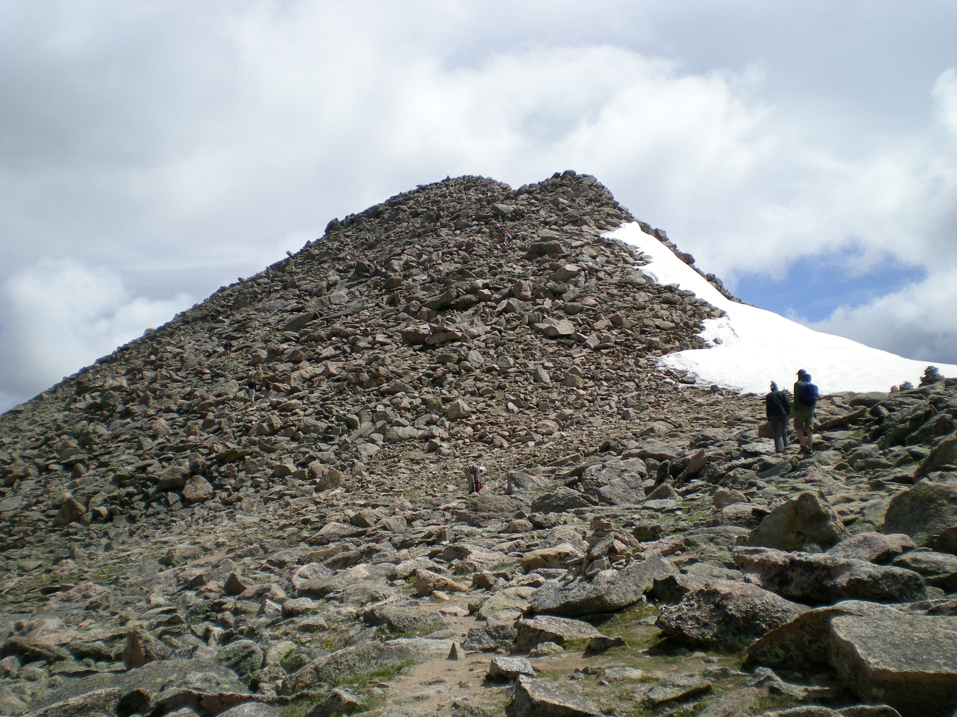
The trail continued to curve south as the grade and terrain intensified; ice patches on the ever-increasing slope made footwork more difficult but not impossible. By this point, we were completely exposed to the unforgiving wind and all of our previously removed layers were on again. For my partner, Chloe, who had forgotten to pack gloves, the mountain began to take its toll on her exposed fingers. Nonetheless, we pressed on. The path continued to become more rugged as we progressed and we noticed quite a few people turning around, defeated by the raging wind. Once we emerged from the rocky saddle, the final stretch was steep and strenuous; we scrambled for about another quarter of a mile before finally reaching the summit. As we were all freezing and wind battered, we opted for a quick photo session and then turned our party around, racing what looked like a looming snow storm back down the mountain. I think we all slipped at least three times on icy spots on the way back down the ridge. Before we completely left the rocky area, we ducked down for a quick lunch break behind a few rocks, hoping for a brief moment of relief from the wind. Eventually, we made it back down to less steep, and now extremely muddy, terrain. Upon arrival back to my car we were all literally ankle deep, and in Kristin’s case butt deep, in mud.
Overall, the hike was very easy as I am in rather great shape. However, the uncontrollable elements added a fair amount of discomfort and challenge to the Bierstadt experience. See you soon, Mount Evans.
*If hikers are EXPERIENCED mountaineers and have packed their technical climbing gear, it is possible to combo Mount Bierstadt and Mount Evans via the Sawtooth Ridge. As this blog is not dedicated to technical climbing, there will be a separate post on climbing Mount Evans from a different trailhead. Please note that the author of this post is an experienced Mountaineer and has not yet personally passed over the Sawtooth Ridge and Breckenridge visitors are not advised to combo.
©Jenna Lowery
Directions from Breckenridge: Drive north on Main Street/CO-9 and merge onto I-70 East. Follorw I-70 East for 25.3 miles and take exit 228 for Georgetown. Follow the signs for Guanella Pass Scenic Byway. Drive approximately 12 miles to the top of the pass and park in one of the paved parking areas. The trailhead is located near the parking area on the east side of the road.